What Do New Environmental Approval Rules Mean for Developers Building Near Waterways?
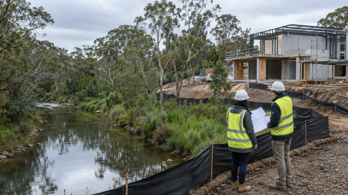
New environmental approval rules mean developers building near waterways or flood prone land now face updated requirements around fish passage, waterway barrier works, and how environmental assessments are processed. Queensland has rolled out updated accepted development requirements for waterway barrier works, alongside broader legislative changes designed to streamline how environmental approvals are handled. For anyone planning a project near a creek, river or mapped waterway, understanding what has changed is worth doing early, well before design work locks in a layout that might not comply.
Queensland has introduced updated accepted development requirements for structures that could obstruct fish movement in waterways, known as waterway barrier works. This covers culverts, crossings, and other in stream infrastructure, and the changes are aimed at improving fish passage and protecting aquatic habitat across the state. There is a transition period running until the end of November 2026, during which a project can be assessed against either the updated requirements or the previous standard, which gives developers some breathing room to adjust design practices. Full detail on what qualifies as a waterway barrier work, and what triggers a development approval, is available through the Queensland Government’s fisheries development approvals guidance.
If a site includes any kind of crossing, culvert or drainage structure that touches a mapped waterway, it is worth checking early whether the project falls under these accepted development rules or whether it needs a full development approval through the state assessment and referral process instead.
Alongside the waterway specific updates, Queensland assented to the Environmental Protection and Other Legislation Amendment Act in June 2026, which is aimed at improving administrative efficiency across the state’s environmental regulatory framework. Part of this involves reducing duplication between environmental impact statement processes and existing impact assessment reports under other state legislation, so that projects requiring both are not effectively assessed twice for the same issues. You can read the detail of what has changed through the Queensland Government’s environmental policy and legislation update page.
For a developer, the practical effect of this kind of streamlining is usually a slightly clearer and less duplicated approvals pathway, though it does not remove the need to get the environmental assessment right in the first place.
Flood mapping has also shifted meaningfully in the wake of recent flooding events across Queensland, and land that was previously considered low risk in some areas has since been reclassified. This matters for anything from basic building approvals through to broader planning applications, since work that significantly changes a building’s exterior or intensifies its use can trigger a separate planning application on top of any building approval already required. It is a genuinely practical reason to check current flood overlays properly rather than relying on older mapping or assumptions carried over from a previous project in the same area.
This reclassification also affects things buyers do not always think about early enough, such as insurance and financing. A site that was previously outside a flood overlay might now sit within one, which can change what insurance is available, what a lender is willing to fund, and what conditions might be attached to an approval. None of this is a reason to avoid a site altogether, but it is a reason to get current mapping and advice before committing to a design, rather than discovering a constraint partway through the approvals process.
Not every project near water will be caught by these changes, but it is worth checking regardless of scale. A small site with no waterway barrier works and no flood overlay issues may not be affected at all, while a larger industrial or commercial development with drainage infrastructure, a crossing, or a mapped waterway running through or alongside the site is far more likely to need a proper look at how the updated rules apply. The size of the project matters less than the specific features of the site itself, so it is worth having someone check the actual mapping for your block rather than assuming a similar project down the road faced the same requirements.
We manage planning and approvals in house on every project, which means checking things like waterway mapping and flood overlays happens early, before a design is locked in rather than after. If you are considering a site near a waterway or in a flood affected area and want to understand what that could mean for your project, have a look through our current projects or get in touch with our team to talk through the specifics of your site.

Interested in one of SunnyDev's properties? This is the right place.
Simply complete the form below and one of our team will be in touch to assist you with your enquiry.